
Common Ground: A History of Bremerton’s Parks
Explore by park
Explore by Park
Find a park on the map, or choose one from the list
The Evergreen Park shoreline, 1898. The color was added by hand. Kitsap History Museum, 1976.018.015
The City of Bremerton’s parks map shows 42 parks and public places, from playfields and forests to plazas, trails, a cemetery and a golf course. Fifteen with the richest histories have their own pages here, with their stories, photographs and memories. A few smaller places are told on the page of the park they adjoin, and the rest are on the More Parks page, with what we know so far. Find a park on the map, or in the lists below.
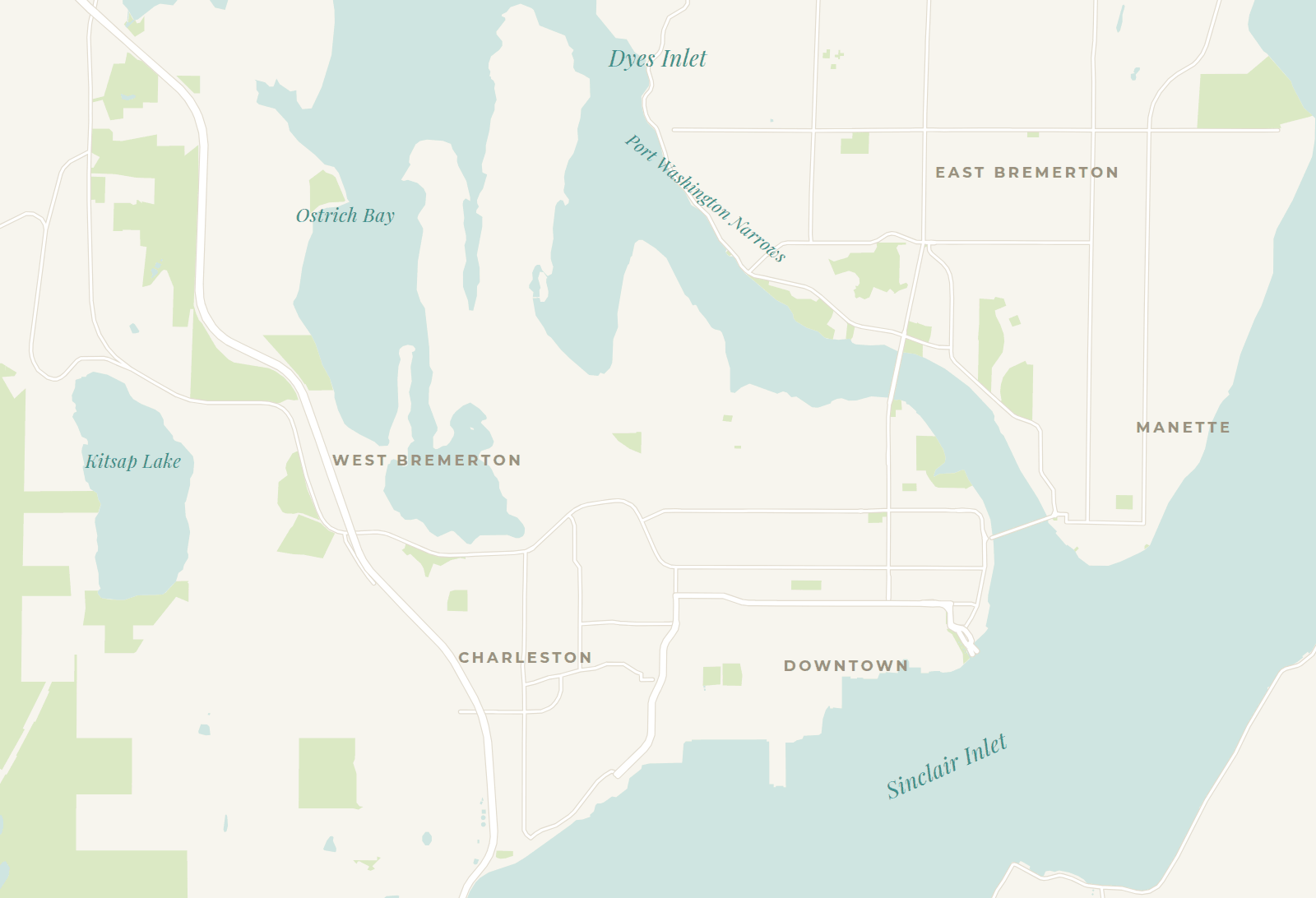 Blueberry ParkEast ParkEvergreen Rotary ParkForest Ridge ParkHarborside Fountain ParkIvy Green CemeteryLions ParkLouis Mentor BoardwalkLulu D. Haddon ParkManette ParkN.A.D. Park and N.A.D. Marine ParkPendergast Regional ParkSheridan ParkWarren Avenue Playfield1st Street Plaza9th Street Mini ParkArvon ParkBachmann ParkBataan ParkBremerton Senior CenterClare Avenue CutoffHal’s CornerKitsap Conference Center PlazaKitsap Lake ParkKiwanis ParkLent LandingLillian A. & James Walker ParkLower Roto Vista ParkMadrona TrailsMatan ParkMemorial PlazaPat Carey VistaSmith Nature Play ParkStephenson CanyonUpper Roto VistaWhitey Domstad Plaza
- Gold Mountain Golf Complex, about 7 miles southwest of downtown
- Bremerton Gateway, a long strip along Charleston Boulevard, so it has no single pin
- Otto Jarstad Park, in Gorst, south of the map
Parks with their own pages
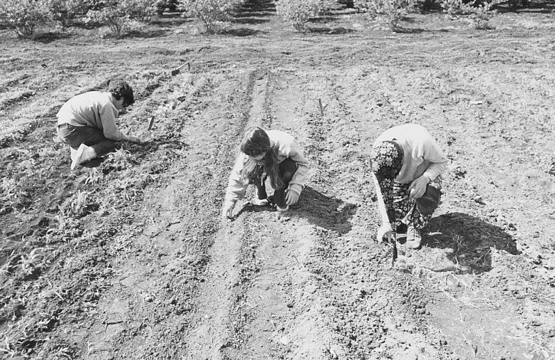 Blueberry ParkHenry White’s Tanglewood Farm, whose blueberry bushes still grow in the park.
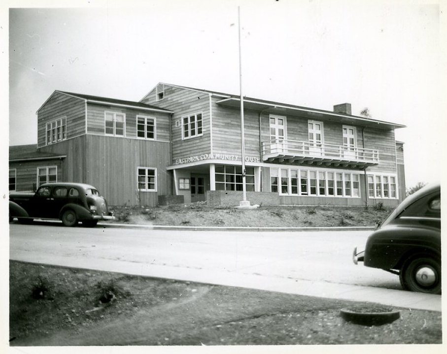 East ParkWartime Eastpark housing, part of which became city parkland in 1971.
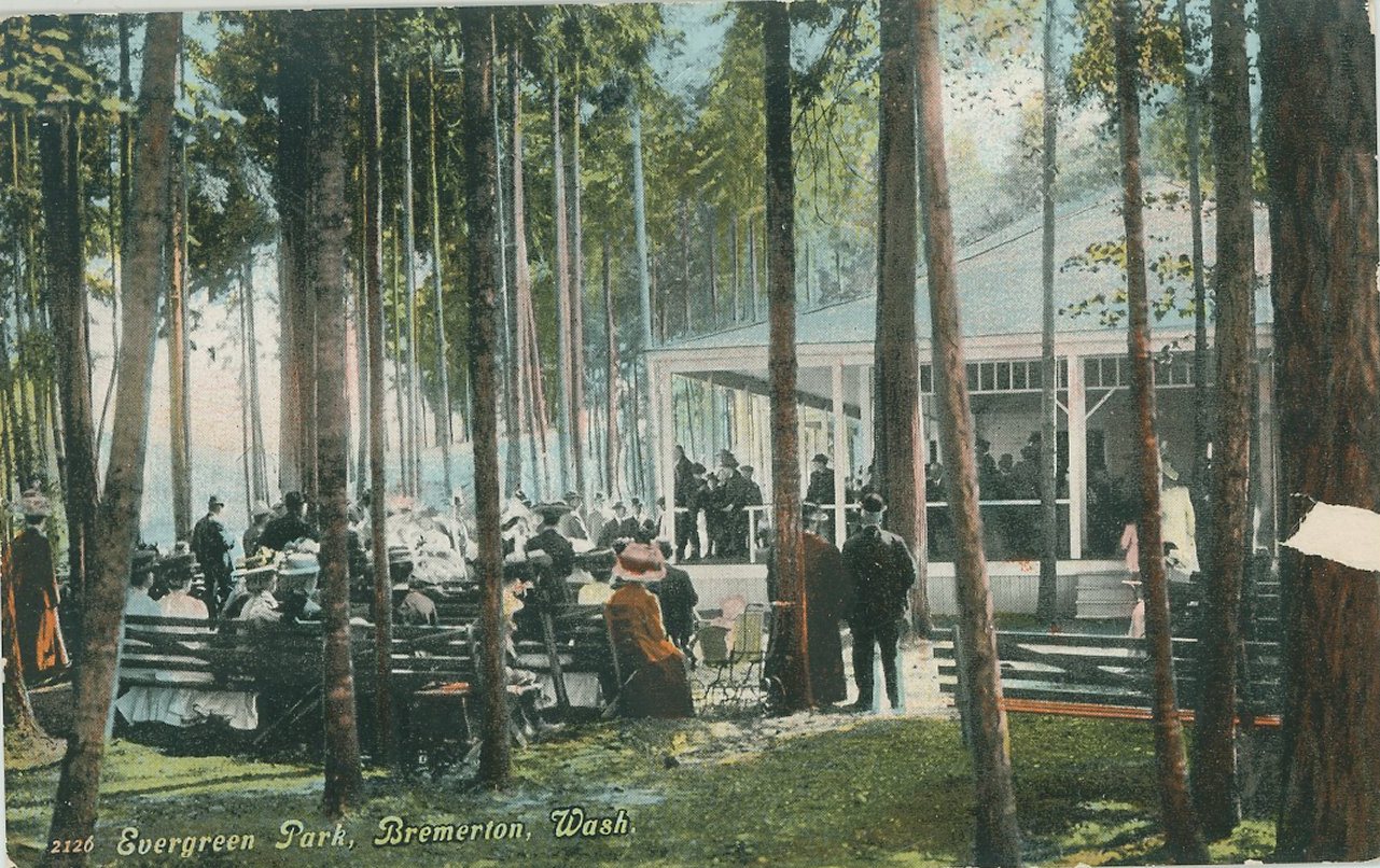 Evergreen Rotary ParkPicnics and ball games on the Narrows since 1901.
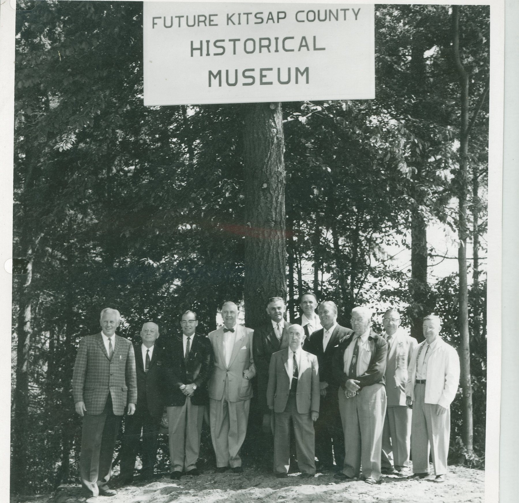 Forest Ridge ParkCharleston’s park on the hill, an Army camp in World War II, and nearly a museum site.
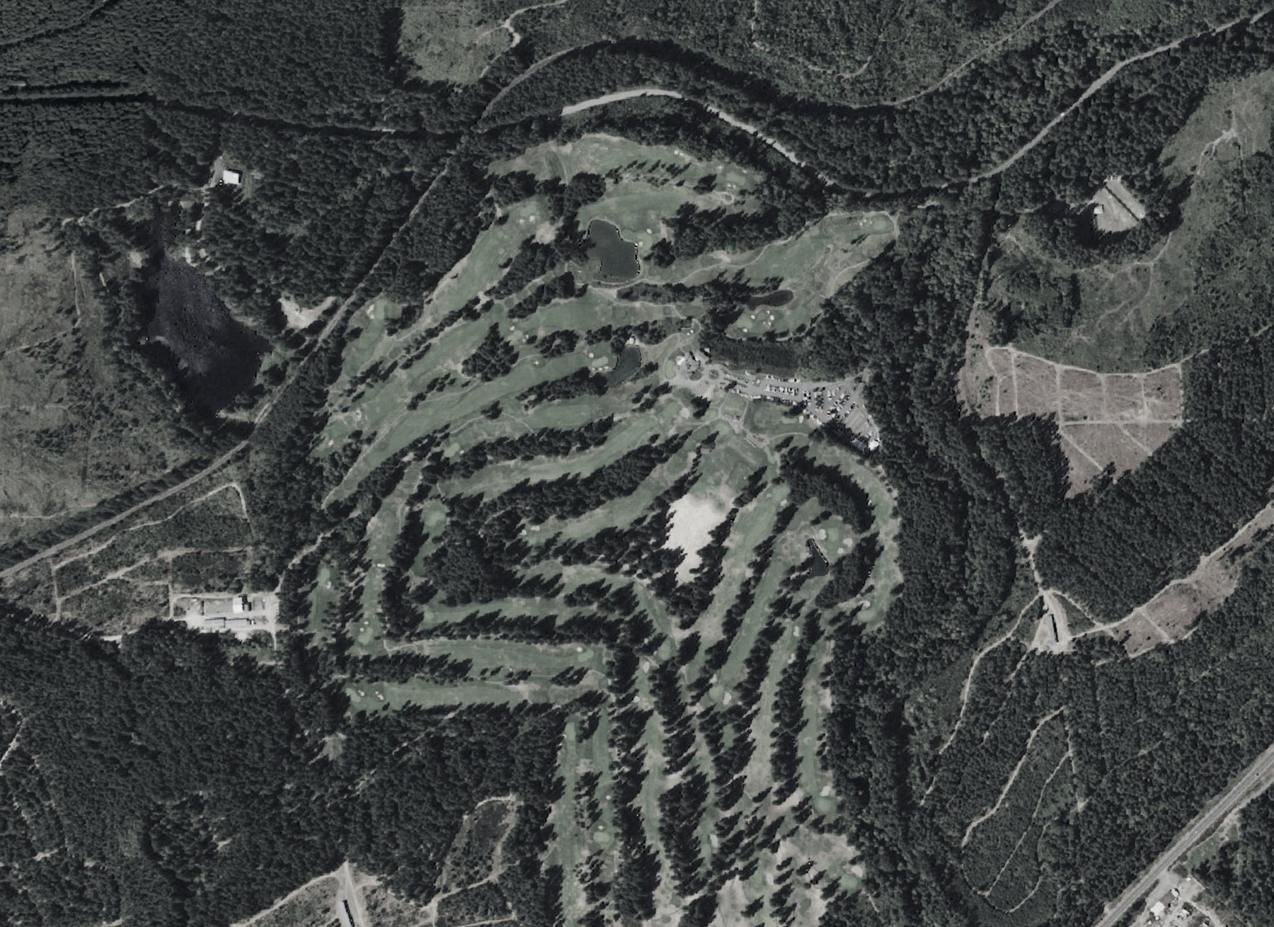 Gold Mountain Golf ComplexGold mines in the 1890s, and the city’s own golf course since 1971.Aerial photo: USDA and USGS, public domain
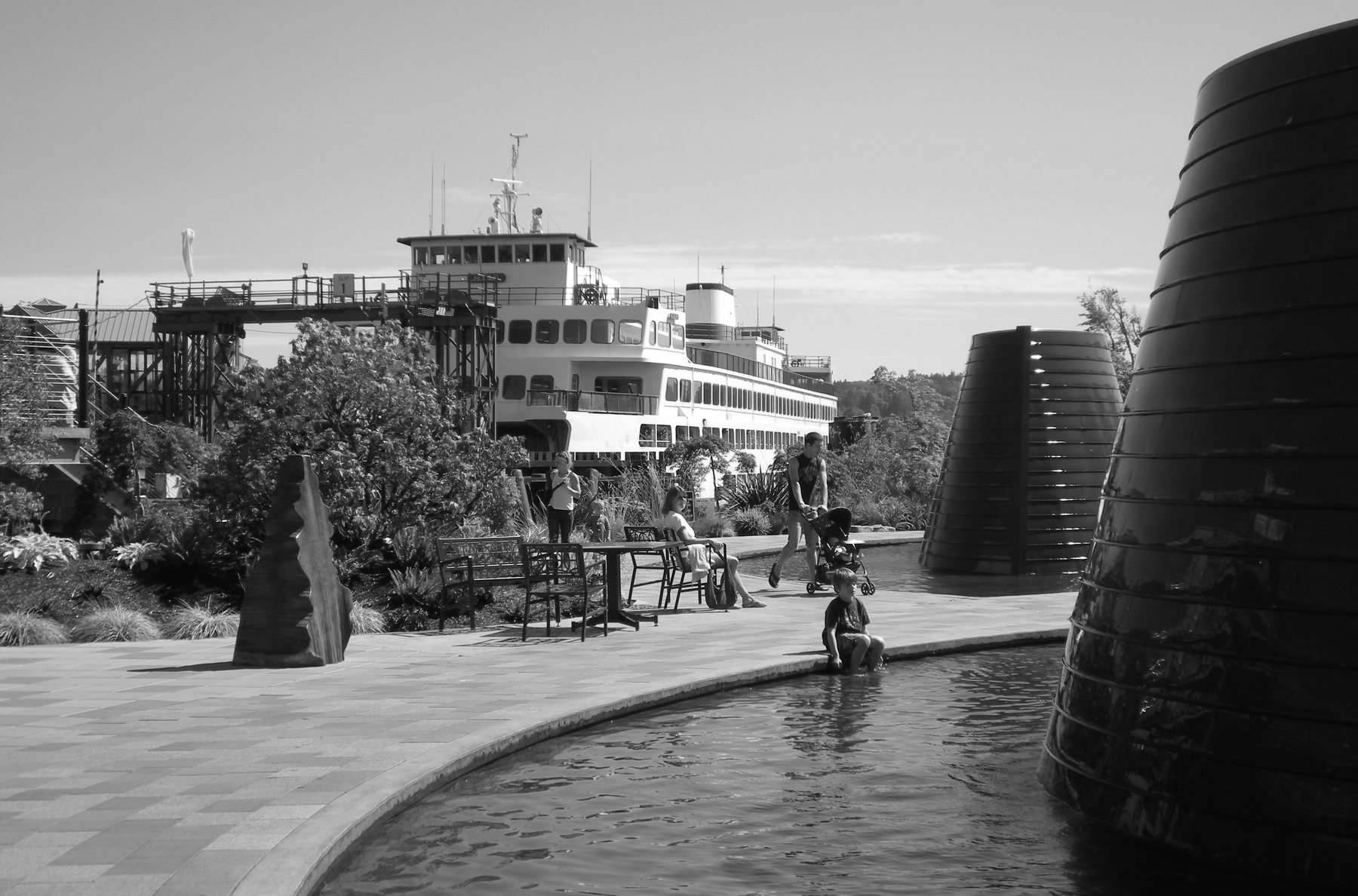 Harborside Fountain ParkFountains and sculpture on the downtown waterfront, opened in 2007.Photo: Joe Mabel, CC BY-SA 3.0
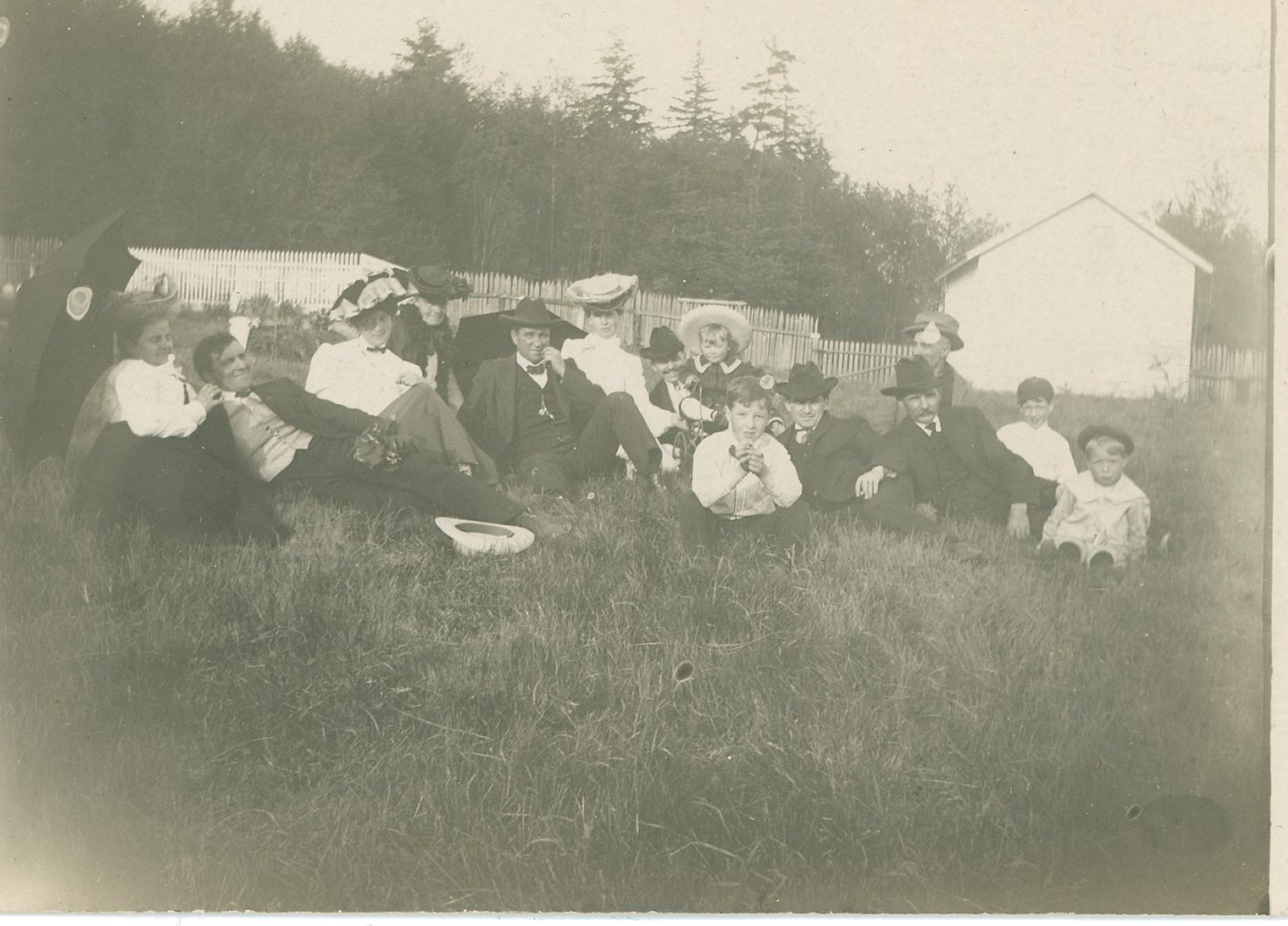 Ivy Green CemeteryCharleston’s and Bremerton’s cemeteries, joined under one name in 1928.
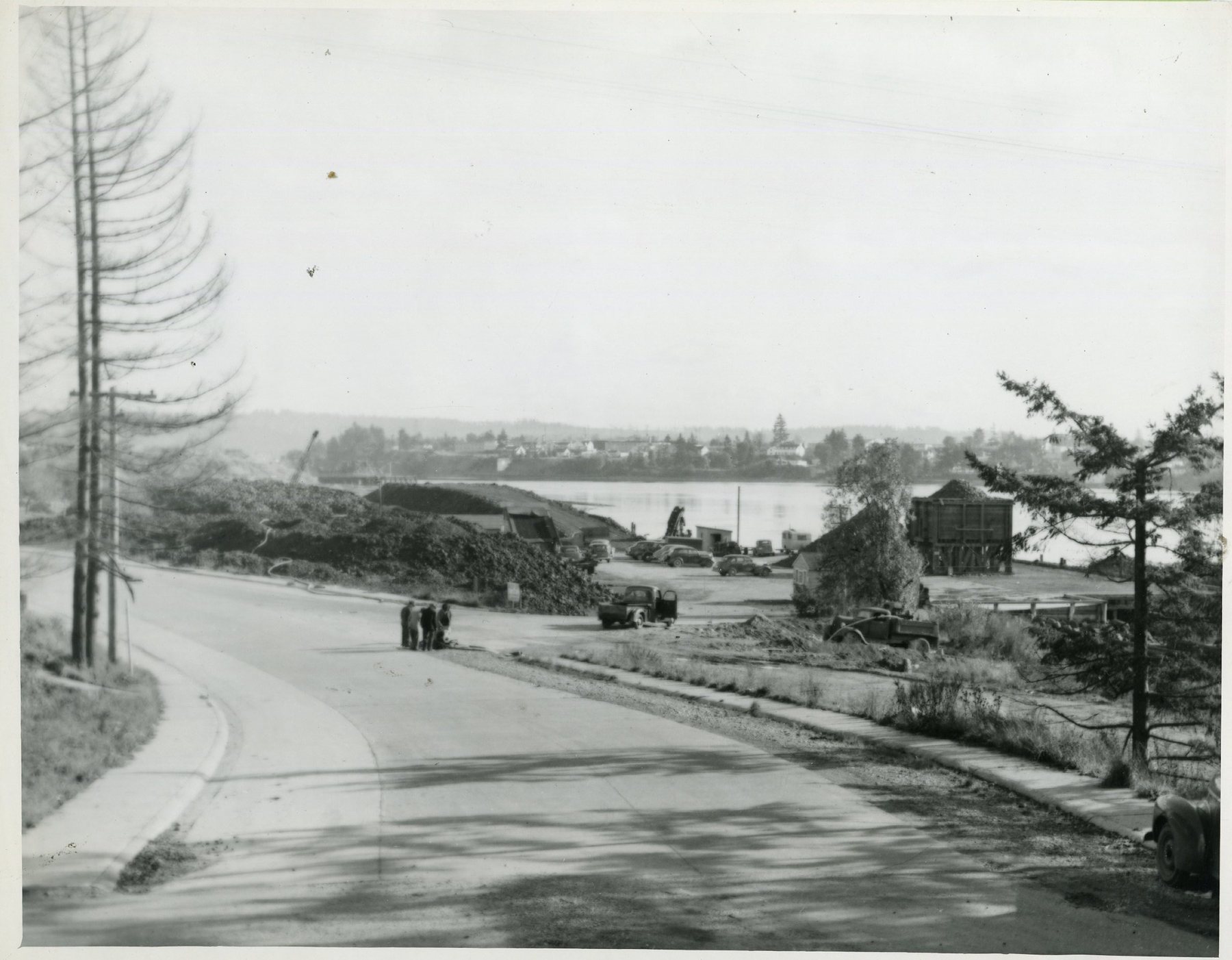 Lions ParkAn old landfill and coal dock that the Lions Club turned into a playfield.
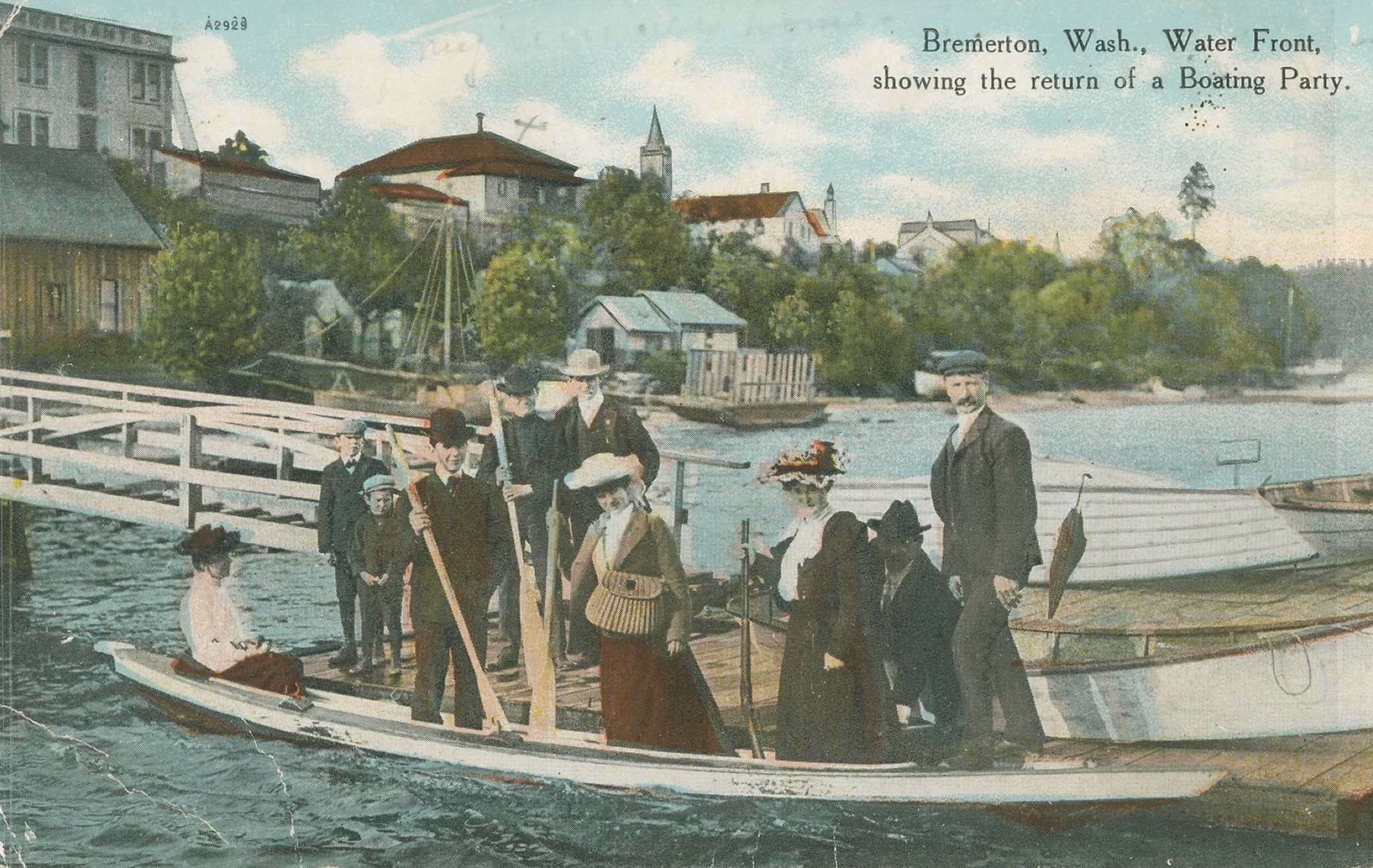 Louis Mentor BoardwalkThe downtown waterfront walk, built for the shipyard’s 100th birthday.
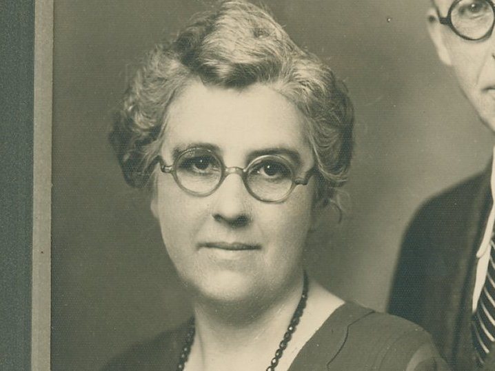 Lulu D. Haddon ParkNamed for Lulu Haddon: legislator, city commissioner and friend of this museum.
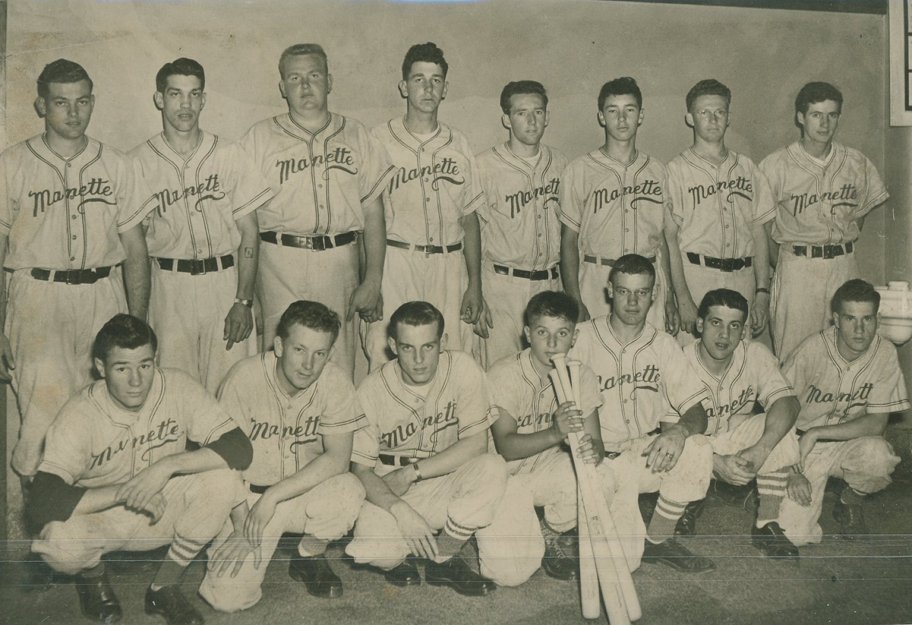 Manette ParkManette’s playfield, lit in the Pendergast years and rebuilt in 2019.
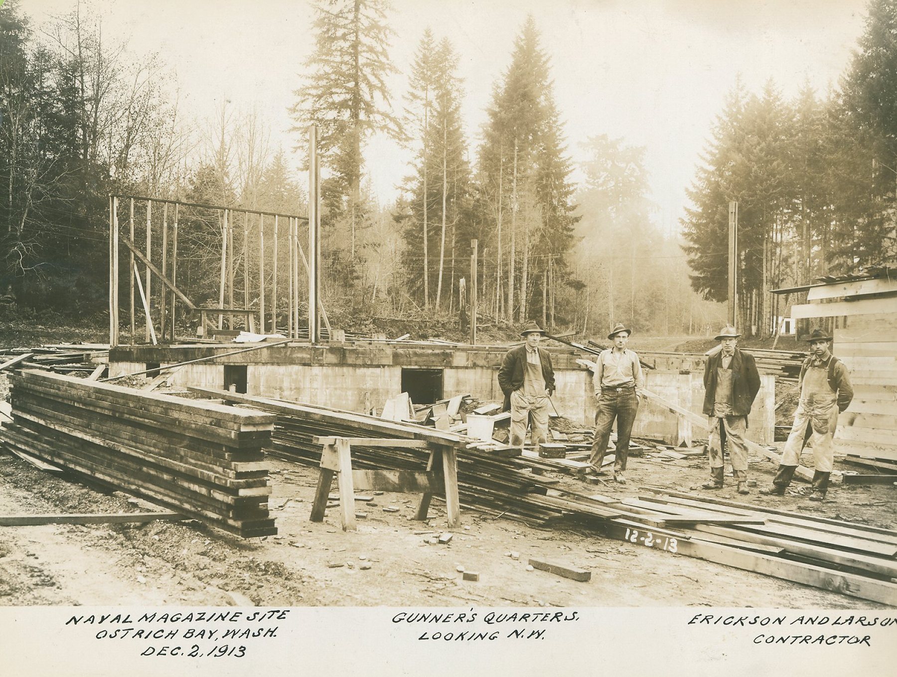 N.A.D. Park and N.A.D. Marine ParkLog cabins, ammunition bunkers and a Navy jet on the old ammunition depot.
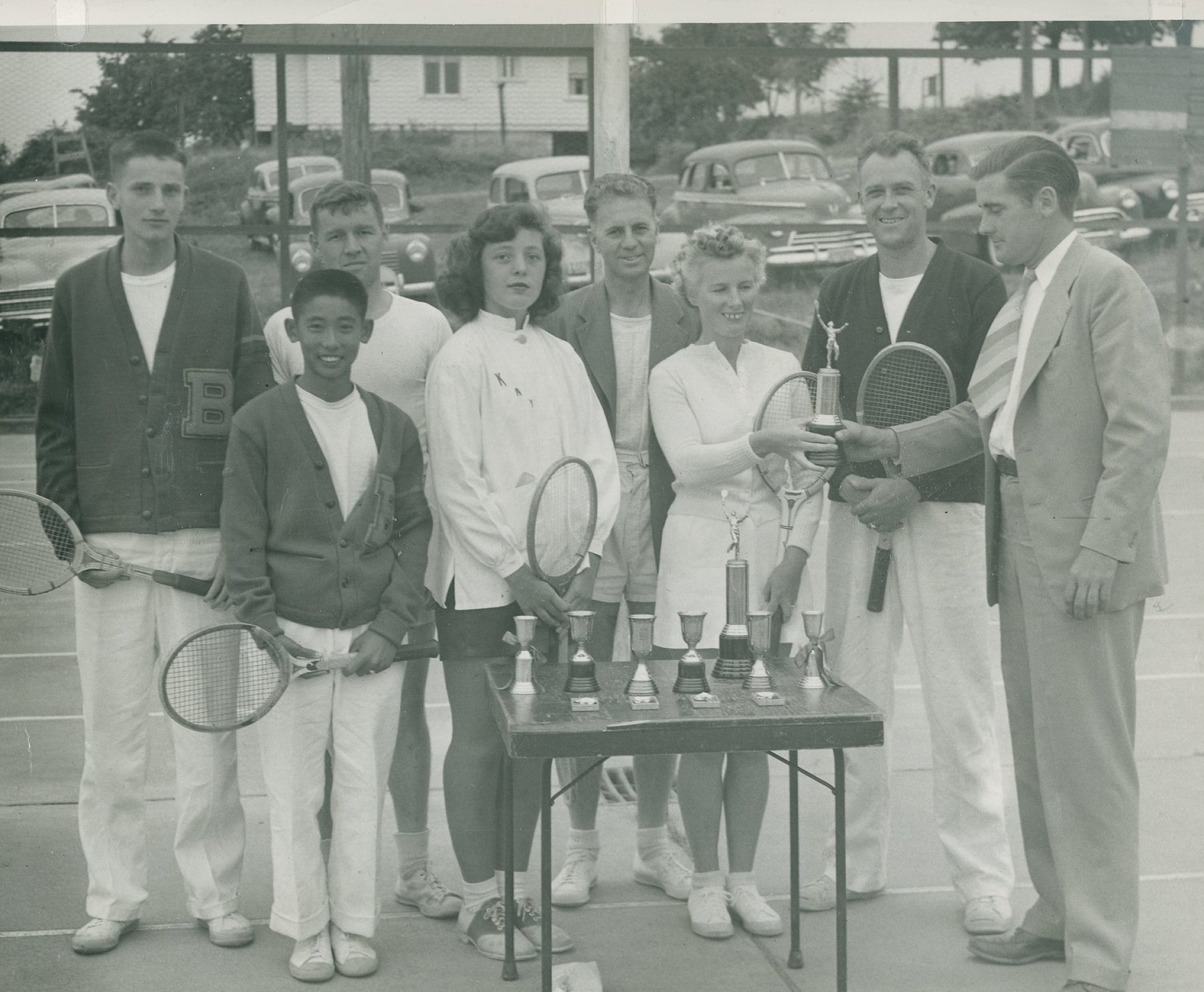 Pendergast Regional ParkBall fields on Union Avenue, named for Bremerton’s longtime parks chief.
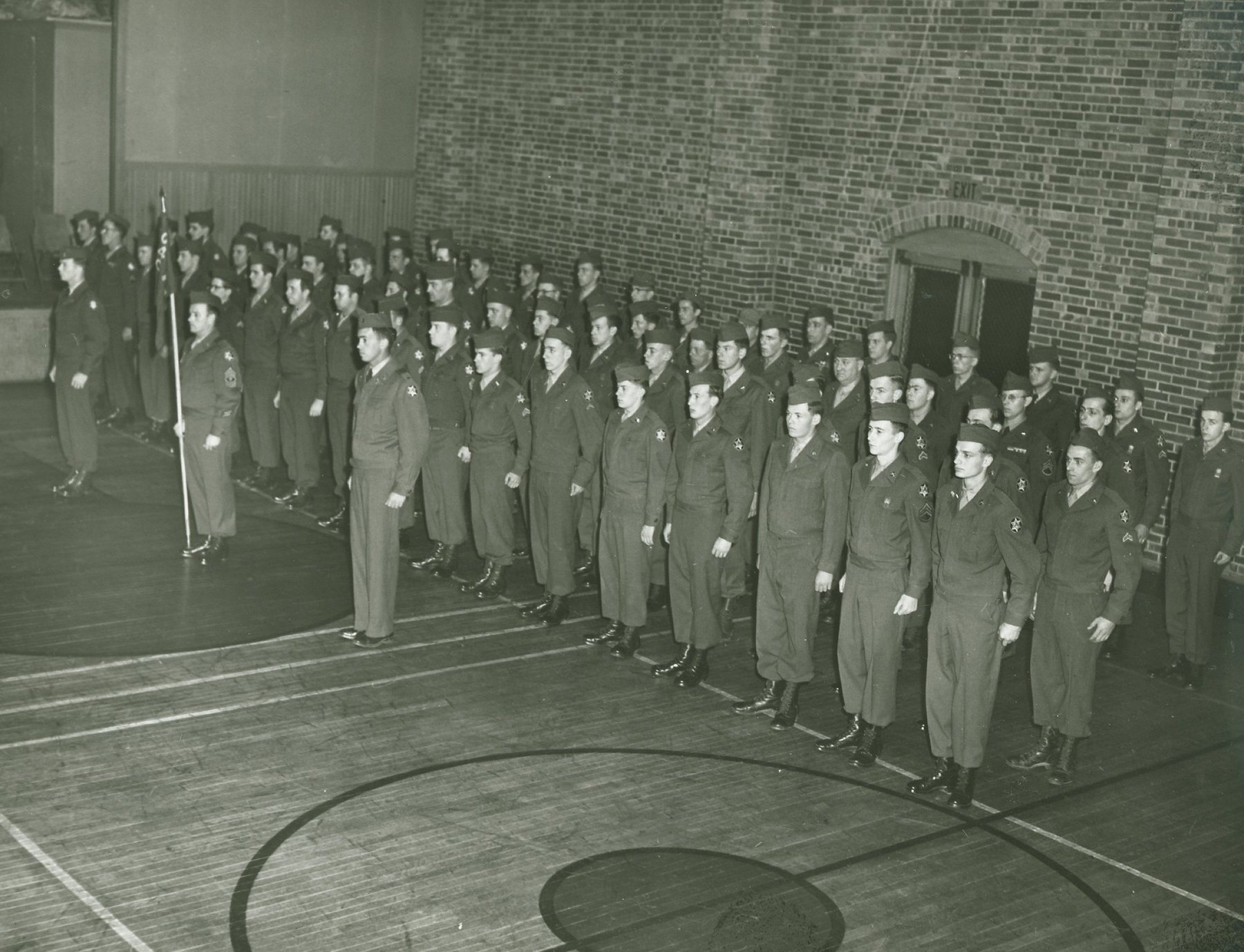 Sheridan ParkBuilt for war workers in 1942; its community hall is still in use.
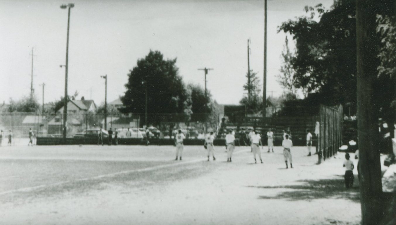 Warren Avenue PlayfieldSoftball under the lights since 1946, and the volunteer-built Carpenter Field.
- More ParksEvery other city park, plaza and trail, A to Z, with what we know so far.
All 42 parks and public places, A to Z
- 1st Street PlazaRestored by 2017; first year not found
- 9th Street Mini ParkDeveloped 1984
- Arvon ParkDonated 1995
- Bachmann ParkGazebo renovated 2010; first year not found
- Bataan ParkNamed 1967, dedicated 1976
- Blueberry ParkBought 1979
- Bremerton GatewayCharleston Blvd. opened 2001
- Bremerton Senior CenterOpened 1972
- Clare Avenue CutoffYear not found yet
- East ParkDeeded to the city 1971
- Evergreen Rotary ParkPicnic ground 1901, dedicated 1909
- Forest Ridge ParkDedicated 1927
- Gold Mountain Golf ComplexOpened 1971
- Hal’s CornerRefurbished 2012; first year not found
- Harborside Fountain ParkOpened 2007
- Ivy Green CemeteryCemetery since 1897
- Kitsap Conference Center PlazaPart of the 2004 conference center
- Kitsap Lake ParkRenovated 2025–26; first year not found
- Kitsap Lake WetlandsYear not found yet
- Kiwanis ParkBought 1976
- Lent LandingA ferry landing in World War II
- Lillian A. & James Walker ParkBought 2011, dedicated 2016
- Lions ParkTaken over by the city 1948
- Louis Mentor BoardwalkBuilt 1991–92
- Lower Roto Vista ParkYear not found yet
- Lulu D. Haddon ParkAcquired 1987
- Madrona TrailsAcquired 1967
- Manette ParkImproved from 1947; first year not found
- Matan ParkRedeveloped 2011; first year not found
- Memorial PlazaOpened 2009
- N.A.D. Marine ParkTransferred to the city between 1965 and 1975
- N.A.D. ParkA park by 1975
- Otto Jarstad ParkDedicated 1966
- Pat Carey VistaAcquired 1974
- Pendergast Regional ParkFirst phase completed 1995
- Sheridan Community CenterAcquired 1948
- Sheridan ParkAcquired 1948
- Smith Nature Play ParkBought 1974
- Stephenson CanyonAcquired 1948, about 1959 or 1967 (sources differ)
- Upper Roto VistaAcquired 1964
- Warren Avenue PlayfieldLighted field built 1946
- Whitey Domstad PlazaYear not found yet
Prefer the whole story, from the 1901 picnic grounds to today? Read the timeline